


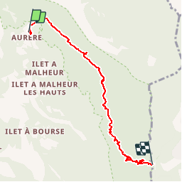

6,7 km | 13,3 km-effort


Utilisateur


Application GPS de randonnée GRATUITE
 SityTrail
IGN / Instituts géographiques
SityTrail World
Le monde est à vous
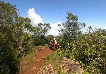
Randonnée Marche de 7,6 km à découvrir à La Réunion, Inconnu, La Possession. Cette randonnée est proposée par Fdum.
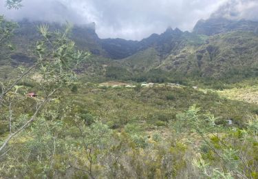
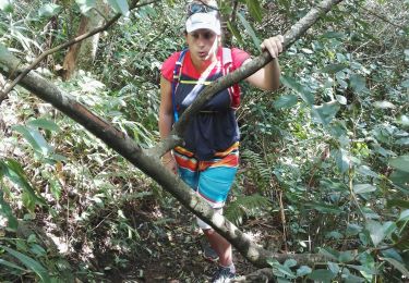
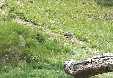
POur les sensations fortes OUI ! pour les beaux paysages NON ! ATTENTION A LA GLISSADE, pour les sportifs... ou ceux qui veulent prendre le temps.

Marche
Marche
Marche
Marche
Marche
Marche
Marche

Marche
Marche